

Customer Management
Manage customers, contacts, and relationship history.
LINCGEO connects your customers, jobs, locations, schedules, contracts, and field visibility in one place. Built for teams that manage crews, job sites, customer work, and operational handoffs.
Book a DemoCustomer details, job updates, schedules, contracts, approvals, and notes often live in different systems.
Teams spend time chasing information instead of focusing on the work.
Limited visibility makes it difficult to know what is happening, what is scheduled, and what needs attention.
Communication gaps can lead to delays, missed updates, and operational inefficiencies.
Leadership lacks a clear, real-time view of project and team activity.
Keeps customer information, locations, scopes of work, schedules, contract status, assigned teams, and progress connected in one place.
Ensures the right people are notified when work changes.
Gives teams the context they need without searching across multiple tools.
Provides real-time visibility for managers and leadership.
Reduces manual follow-ups and improves operational efficiency. Keeps office and field teams aligned around the same source of truth.
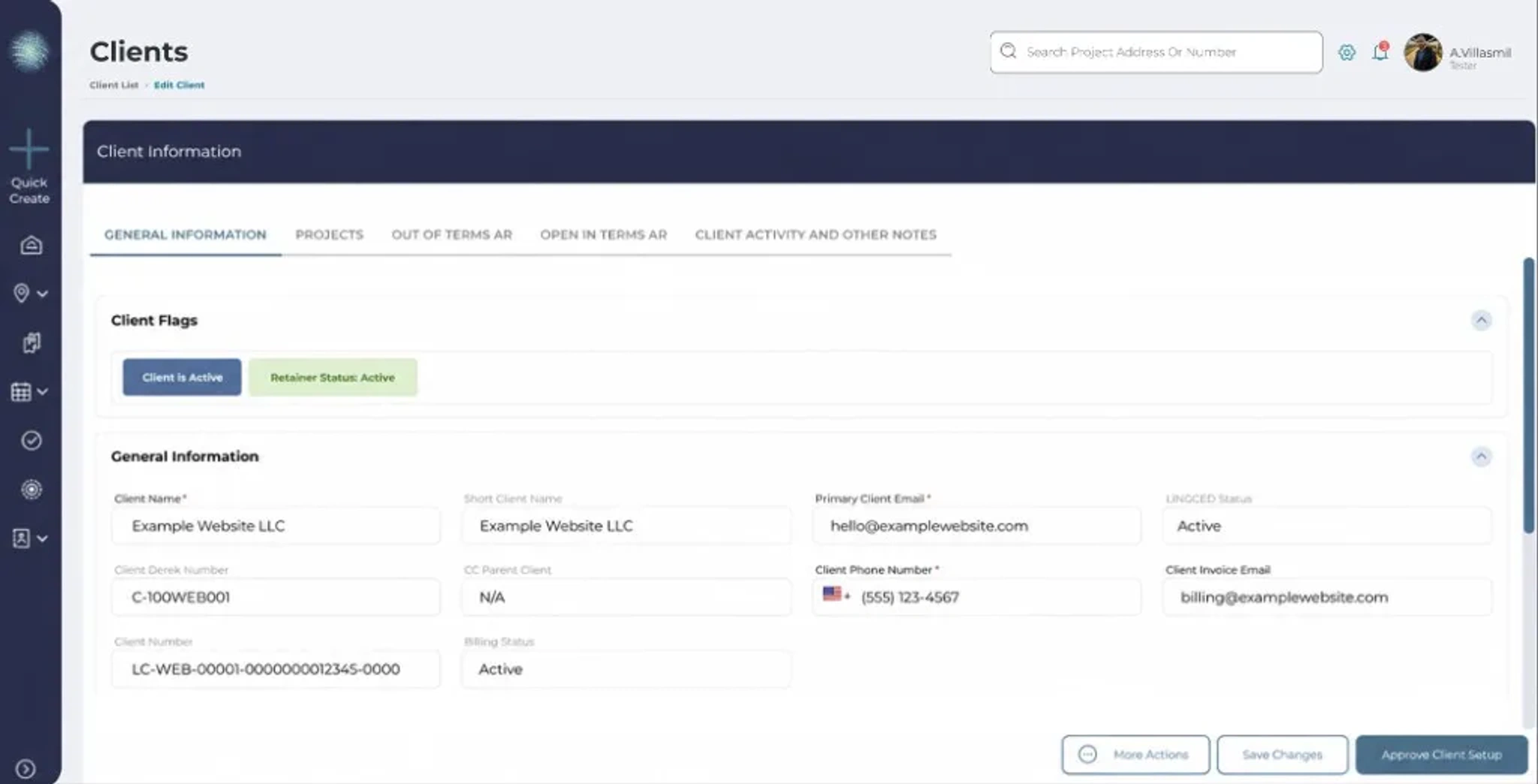
Manage customers, contacts, and relationship history.
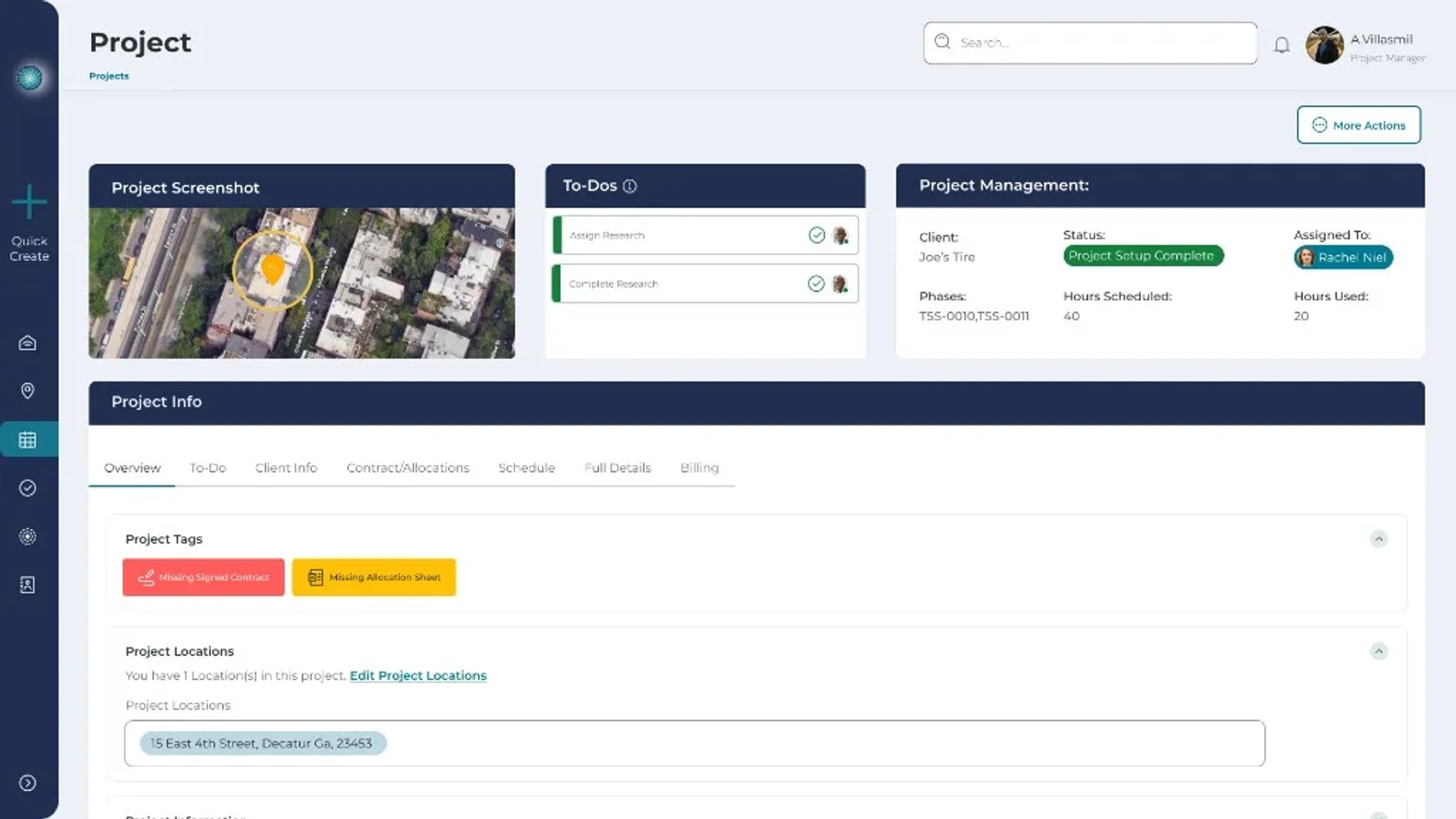
Keep job details, scope, status, location, and team assignments connected.
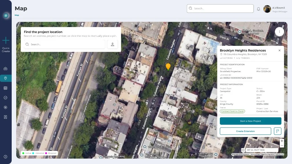
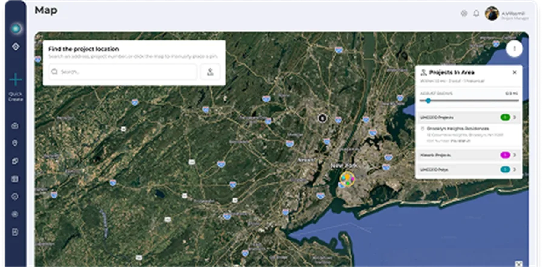
See where work is happening and connect jobs to real locations.
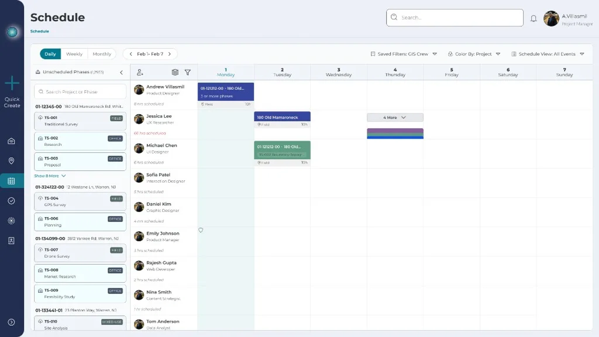
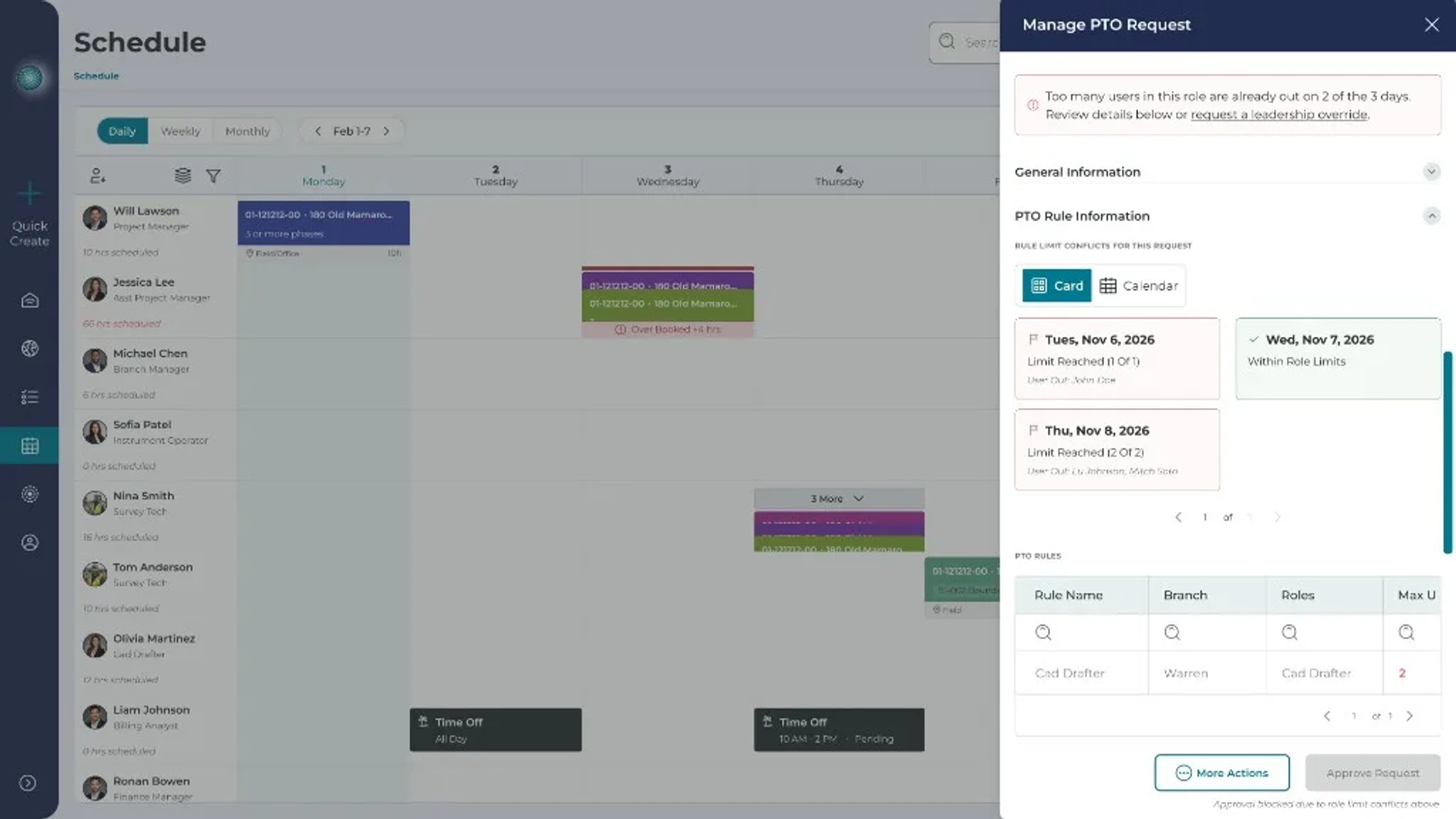
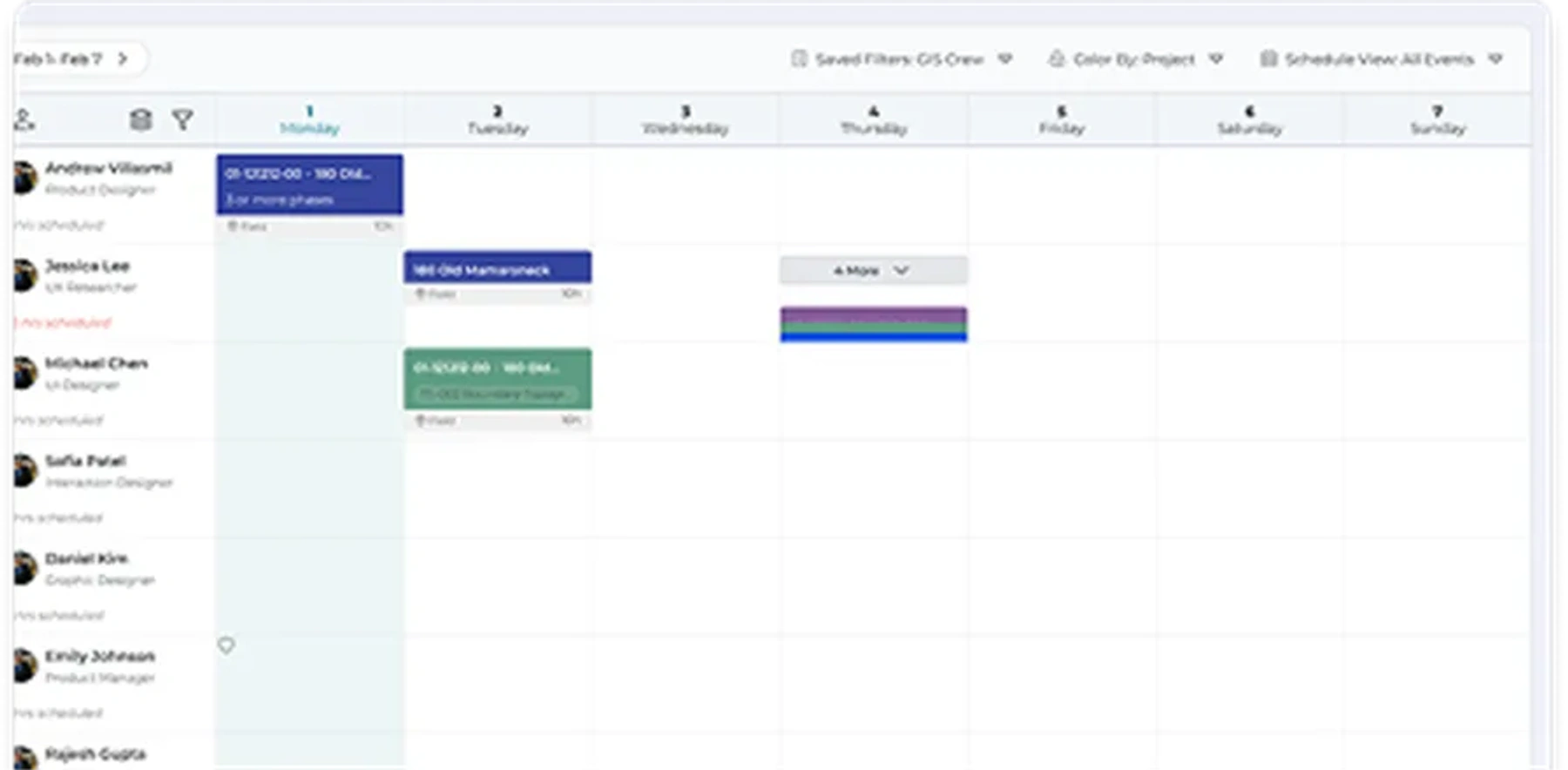
Plan work around availability, workload, PTO, and conflicts.
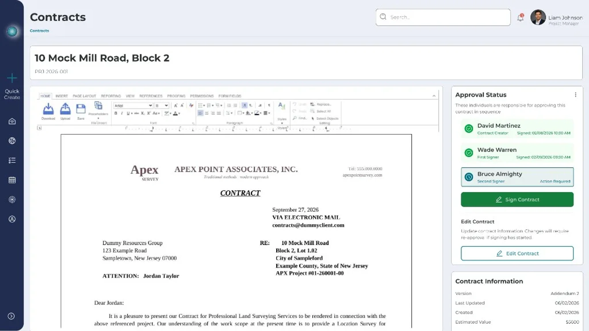
Support required paperwork, approvals, and flexible workflow checks.

Give office and field teams shared access to job details, updates, and progress.
See what is active, scheduled, blocked, or needs attention.
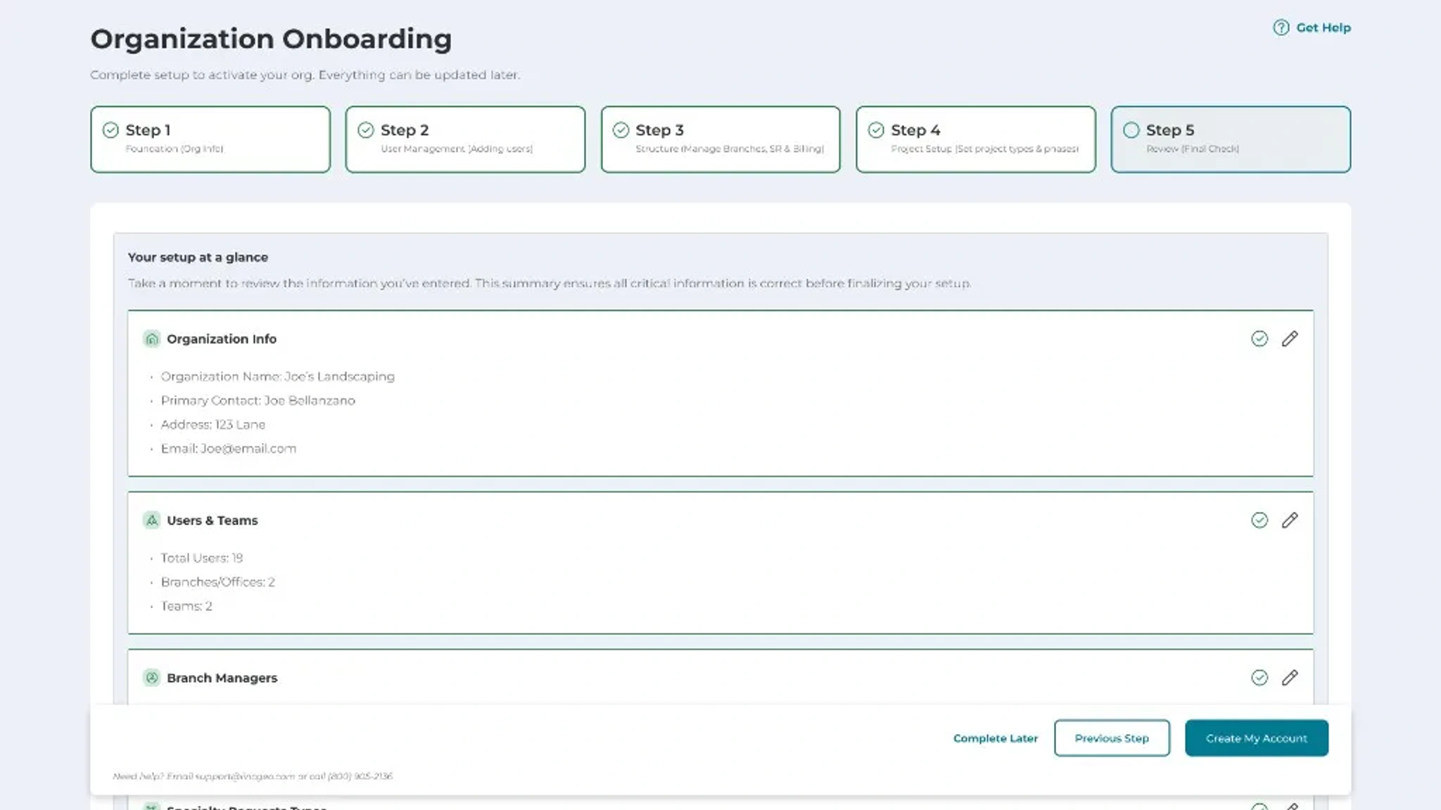
Set up companies, branches, teams, users, customers, and work data step by step.
LINCGEO was built around the operational reality of companies managing high-volume field work, large customer databases, active job sites, and the coordination that has to happen between office and field teams.
These are four of the companies running on it.
Land Surveying
Control Point is one of the most established land surveying firms in the country. At their scale, managing project data across crews, clients, and locations is not a minor coordination task. It is the business.
With LINCGEO, Control Point manages project data, client records, locations, scheduling context, and team visibility in one connected platform. Every project is on the map. Every client record is tied to the work. Every field team is working from the same information the office has.
60,000+ projects managed. 14,000+ clients served.
CAD Drafting and Engineering Service
PrimaVerse manages over 2,500 projects a year across civil engineering, land survey drafting, mechanical engineering, and BIM services, serving clients across five continents with teams operating out of the US, India, and Australia. At that volume, across that many disciplines and locations, keeping project details, client records, and team assignments connected is not a workflow problem. It is an operational one.
LINCGEO gives PrimaVerse one place where the work, the clients, and the teams stay tied together.
Underground Utility Locating and Subsurface Engineering
Visionary Subsurface Solutions specializes in locating and mapping underground utilities across construction and design sites throughout the Northeast and Florida. Their work covers private utility locating, subsurface utility engineering, vacuum excavation, video pipe inspection, and 3D manhole scanning, serving clients ranging from engineering firms to universities and major commercial developers.
Every job they run depends on accurate field data getting back to the right people quickly. With 200+ projects managed through LINCGEO, their teams and office stay connected on the same record from the moment a job is created to the day the crew is on site.
200+ projects managed across the Northeast and Florida.

UAV Data, Drone Mapping and Geospatial Services
SurvAir runs FAA-certified drone mapping, LiDAR acquisition, and photogrammetry operations across the East Coast, delivering survey-grade aerial data for construction, land surveying, and infrastructure projects. Their team handles everything from flight planning and data capture to CAD-ready deliverables, all validated by licensed professional surveyors.
With over 900 projects managed through LINCGEO, their work starts in the field and has to land cleanly in the office. Flight planning, data collection, and final deliverables all depend on the same project details being available to the same people at the same time. LINCGEO keeps that chain connected, from the job record to the field team to the client.
See how LINCGEO connects your customers, jobs, locations, scheduling, contracts, and field teams so your business can operate with more clarity from office to field.